During the recent trials of our great nation, I hit the road to think about
it all, driving south through the cradle of the Civil War to the Eastern
Continental Divide in North Carolina. The landscape changed with
every new state, as did the radio news: New York, New Jersey,
Pennsylvania, Maryland, West Virginia, Virginia, Tennessee and finally
North Carolina. The first leg through Newark during riot week was a bit
nerve wracking with kids screaming down the interstate in their suped
up mini cars darting in and out of traffic, ready to explode with their
rage. But the further I got from the big cities, the more relaxed things
became.
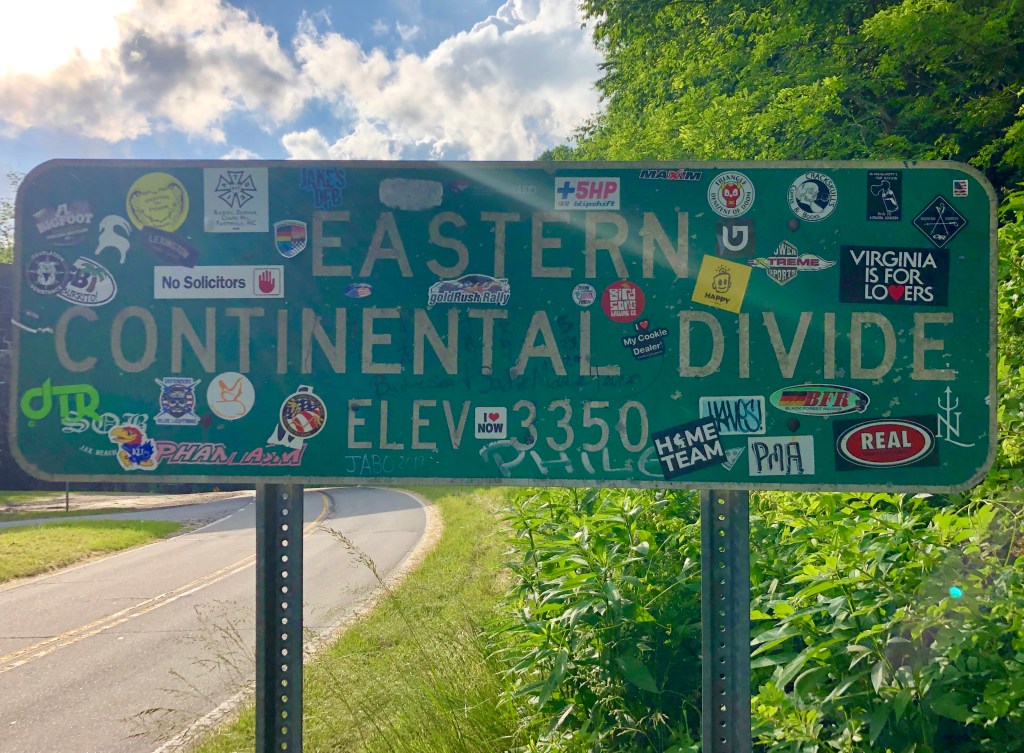
I’ve since done a little recon on the Continental Divide, as I knew only
the one down the backbone of the country in the Rockies. Turns out
there are six “continental divides” in the United States, a “divide” being
defined as that which separates watersheds. The Eastern Divide (also
called the Appalachian Divide) is an invisible line that represents where
water on either side of it will flow. It separates the Atlantic Seaboard
watershed from the Gulf of Mexico watershed, spanning the country
from just south of Lake Ontario through Florida. The Appalachian
Mountains and the Piedmont Plateau house its peaks, with Mount
Mitchell, NC, being the highest. All water (snow, rain, lakes, streams
and rivers) on the eastern/southern side of the divide drain to the
Atlantic Ocean and that on the western/northern side drain to the Gulf of
Mexico. It all seems a perfect parallel to where we find ourselves today.
Water, like beliefs, falls to one side or the other.
I crossed the divide to meet up with two Louisiana girlfriends who left
New Orleans when I left Rye, each reaching our destination eleven
hours later at a halfway point between North and South. We landed in
the middle (something I wish more of us could do these days) where we
holed up for a few days and caught up on the news of the world while
hiking, paddling, cooking and drinking. We also caught the short
blooming season of the mountain laurel, an evangelical sermon in a church parking lot (covid-style), a glimpse of a bear in the woods and
gorgeous sunsets from the screened porch on a mountain top. Childhood friends find a way to weather differences of opinion and politics because they choose to. And because you truly can put yourselves in each other’s shoes and walk around a bit since you have known the lay of their land for years.
My friend’s house is in the Toe River Valley, smack dab in the middle
of the Black Mountain Range of the Pisgah National Forest. It’s
stunningly beautiful and offers everything I love: mountains to climb,
caves to explore, rivers to paddle and amazing tales to hear. The valley
was once a meeting place of warring tribes, the Catawba to the east of
the Blue Ridge and the Cherokee to the west. They came to the valley to
hunt, fish and to fight when necessary. It was a neutral territory where
men came to settle their differences and to provide for their families, a
thing we could certainly use about now. How the Toe got its name is a
classic cautionary tale. “Toe” was derived from Estatoe, the name of a
Catawba princess who fell in love with a Cherokee brave, her enemy.
They ran away together but were caught on a high bluff overlooking the
river where they jumped hand in hand to their deaths. Let’s not do this.
We’ve always had our differences as a nation, and we’ve always settled
them. We pay a high price when we don’t learn from our history.
Travelling the country while reading its stories gives great insight. The
land itself creates and tells the story, the history. Old abandoned mines
riddle the Toe Valley, painting a picture of rich deposits of feldspar and
red rum mica. Shuttered grinding plants tell the tale of a by-gone
industry. Tourism is writing the current chapter of North Carolina,
beckoning with misty mountains and tumbling waters. Take a chapter
out of this book when you can.

Leave a reply to Martha Rea Baker Cancel reply